
Service
Free Deer Survey
Donaldson Deer Service carries out free deer surveys and deer counts, by a DSC1-qualified deer manager, for landowners and farmers across Yorkshire, North Lincolnshire, East Lancashire, South Durham, and Teesside. Before suggesting anything, it helps to see what's actually going on: which deer are on your land, roughly how many, where they're moving, and what damage, if any, they're doing to crops, woodland, or hedgerows. It's a walk round the land at a time that suits you, and it's free to landowners and farmers, with no obligation.
Or call Chris on 07397 942663. He'll call you back the same day.
 Field SurveyFree
What this involves
- A walk round the land, including boundaries, woodland edges, and known deer routes
- Working out which species are present (e.g. roe, muntjac, fallow, red) and roughly how many there are locally
- A deer count: an estimate of how many deer are using the land, by species, from the walk round, trail cameras, and dawn and dusk counts with binoculars and thermal where they help
- Trail cameras can be placed at key points, where it's useful and you're happy for us to, to confirm species, get a real sense of numbers, and map the routes deer are actually using
- A look at the browsing damage to crops, saplings, hedgerows, and woodland
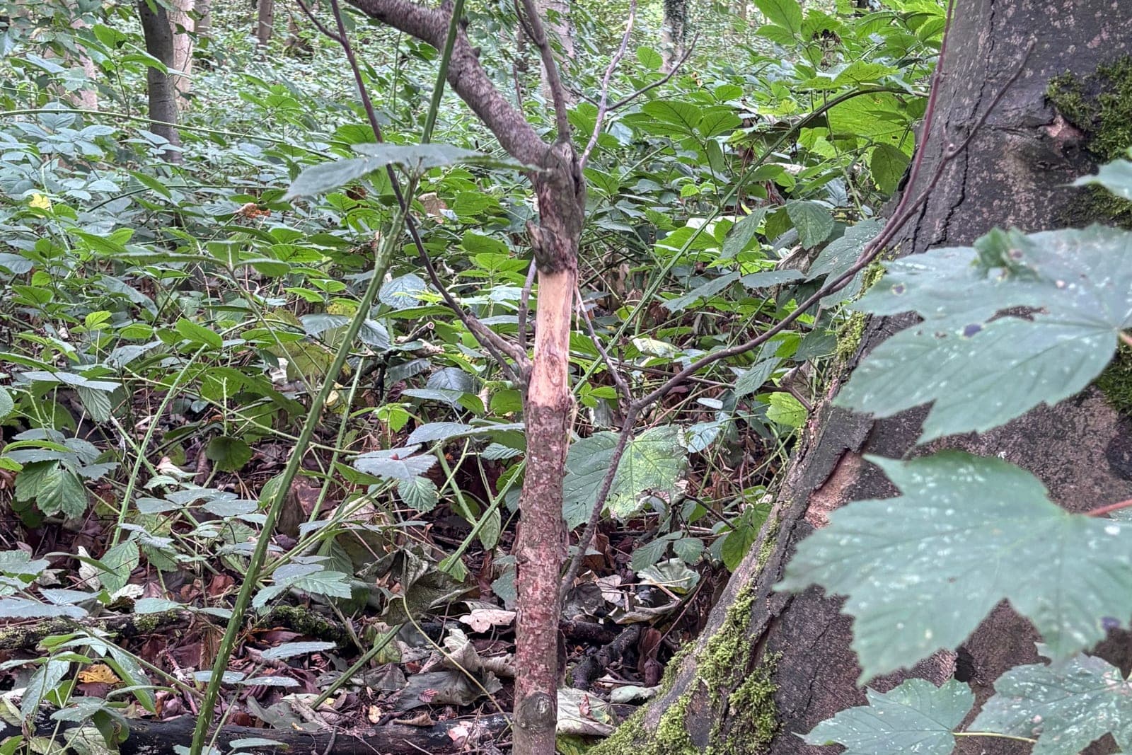
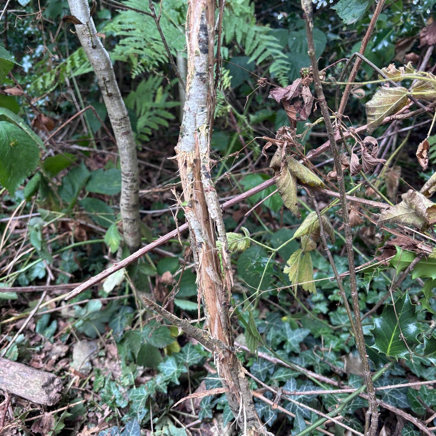
- A look at the signs already there: sightings, droppings, tracks, fraying, and any vehicle strikes
- A plain-language summary of what we found, no jargon
Trail cameras: seeing what a walked survey alone can't
Where it's useful, and with your agreement, trail cameras can be set up at key points around the land, often along woodland edges and known routes. They help fill in any gaps from the survey: confirming which species are actually present, building a more reliable estimate of numbers, and mapping the routes deer are using most often. The clip below, captured on one of our cameras, shows a roe buck browsing a young tree before making a scrape mark to mark out its territory, then fraying its antlers against the trunk, exactly the kind of behaviour and evidence a survey is looking to identify.
Thermal: picking deer out of cover
Dawn and dusk counts use binoculars and thermal. Heat shows deer standing in cover that would be easy to miss by eye, so the count is closer to what is really on the land. It also shows signs they've left behind: the next clip is a warm patch on the forest floor where a fallow had been lying before it moved off, a sign that deer were close by.
A warm bed on the forest floor
A patch still warm from a fallow lying on it, picked up on thermal after the deer had moved off.
Why it matters
Without knowing how many deer there are, it's easy to either do too little, so the damage carries on, or do more than's needed. Seeing what's actually on the land first keeps anything that follows in proportion, which is better for your land and for the animals.
The signs deer leave change through the year, from fraying in spring to bark stripping in winter. Our deer calendar shows what they're doing each month and what to look out for.
What to expect
- 1
Initial conversation
A short call or message to understand your land, your concerns, and what you've noticed so far.
- 2
Site visit
A walk round the land at a time that suits you: just point us in the right direction and we'll take it from there.
- 3
What we found
A clear idea of which deer are there, roughly how many, and the damage they're doing, with an honest view on whether anything needs doing.
Common questions
Yes. There's no charge for the survey, and no commitment to any further work afterwards. If it shows nothing needs doing, that's a perfectly good result.
A clear, plain-language summary of which species are on the land, roughly how many, where they're moving, and what damage they're causing, along with an honest view on whether anything needs doing about it.
Yes. A deer count is part of the survey. It gives you an estimate of how many deer are using your land, by species, from the walk round, trail cameras, and dawn and dusk counts with binoculars and thermal where they help. It's free.
Roe, muntjac, fallow, and red deer. Species can usually be worked out from tracks, droppings, browsing height, and fraying even without a clear sighting, and trail cameras can confirm it where that's useful.
Only where they're genuinely useful and you're happy for them to go up. They're placed at key points to confirm species, get a real sense of numbers, and map the routes deer are actually using.
It can help. For woodland and stewardship schemes such as EWCO, WCPG, and PA7, it's useful to be able to say which deer are on the land and what they're doing, and the survey gives you that in plain language. If you're working with a land agent or forestry consultant, they're welcome to use what we find.
Then you'll be told exactly that. Some damage turns out to be rabbits, hares, or livestock, and sometimes deer are present without causing enough harm to justify any action. Either way, you'll know what you're dealing with.
Ready to talk about your land?
Or call Chris on 07397 942663. He'll call you back the same day.