Areas Covered
Deer Management in East Yorkshire
East Yorkshire splits into two landscapes that don't behave the same way. The Wolds rise around Driffield, Pocklington, and Market Weighton, chalk hills cut by dry valleys. Drop down toward Howden and Goole and the ground flattens into the Vale of York and the Humberhead levels, some of the most heavily arable land in the country.
Why small copses matter more here
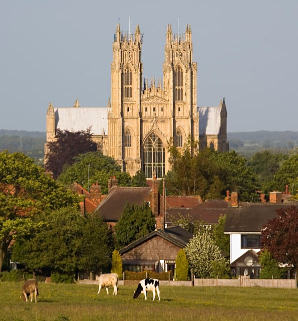
Large blocks of woodland are rare across this stretch, so whatever cover does exist, a shelterbelt, a field-corner spinney, a strip along a beck, tends to hold a disproportionate share of the local deer. Roe are the species you'll find working these margins, and a survey often turns up more pressure concentrated in a small area than the open farmland around it would suggest.
Beverley and the Wolds edge
Around Beverley and along the Wolds escarpment, mixed farming and pockets of older woodland give deer more places to move between than the flatter ground further south. That makes it worth checking a wider area than just the field where damage has shown up, since the animals causing it may be based somewhere else entirely.
Coverage
Towns and villages covered
If you're nearby but don't see your village listed, get in touch anyway. See every area we cover.
Losing lambs or poultry to foxes in the same area? See our free fox control service, offered on its own or alongside deer management.
Not sure if your land is covered?
Just ask. If you're anywhere near East Yorkshire, it's worth a conversation regardless of whether your exact village is listed above.